


GRP_Lanvaux_AG_07_Cours_Rochefort-Terre_20210514

patrickdanilo
User
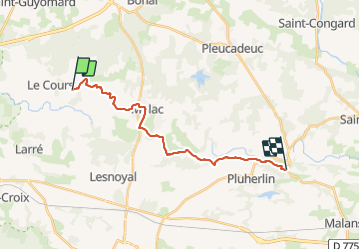

Length
17 km

Max alt
105 m

Uphill gradient
233 m
Km-Effort
20 km

Min alt
23 m

Downhill gradient
289 m
Boucle
No
Creation date :
2021-05-14 08:10:43.169
Updated on :
2022-02-09 14:26:48.687
4h27
Difficulty : Easy

FREE GPS app for hiking
 SityTrail
IGN / Geographical institutes
SityTrail Plus
The world is yours!
About
Trail Walking of 17 km to be discovered at Brittany, Morbihan, Le Cours. This trail is proposed by patrickdanilo.
Description
GRP© Vannes-Lanvaux
Boucle
De Vannes (Morbihan) Bretagne
à Vannes (Morbihan) Bretagne
200 km
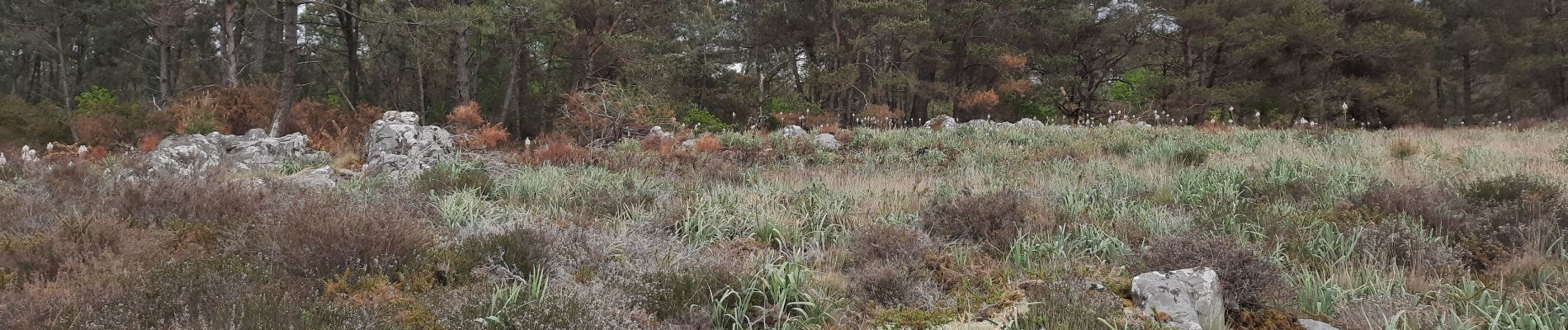
Photos


Positioning
Country:
France
Region :
Brittany
Department/Province :
Morbihan
Municipality :
Le Cours
Location:
Unknown
Start:(Dec)
Start:(UTM)
538565 ; 5287419 (30T) N.
Comments